Source ofTRUTH
Built for the people who count things in the rain.
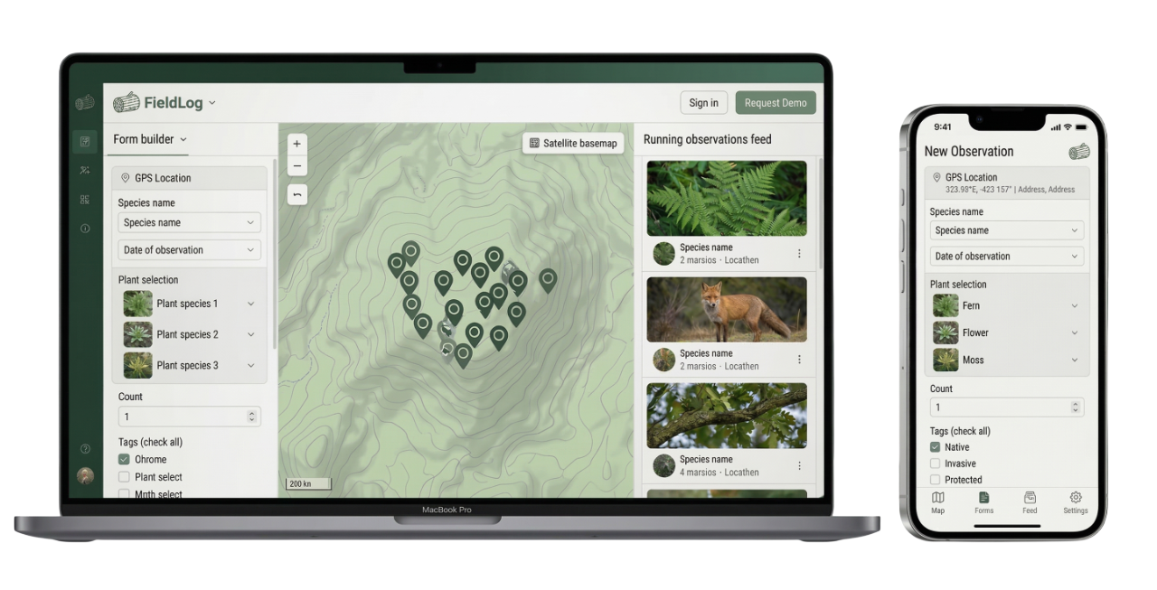
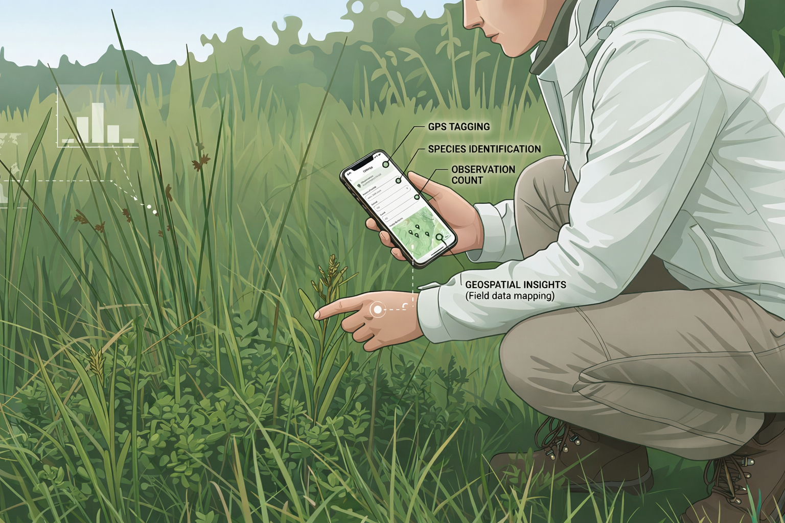
Collect data where the work happens. No signal. No wifi. Just your phone and a form that syncs when you're back online.
Scientists, rangers, and community monitors use FieldLog to run surveys, tag GPS points, and export results in standard formats.
You design the form. They collect the data. The dashboard tracks it all.
Log Everything
Offline. Reliable. Simple
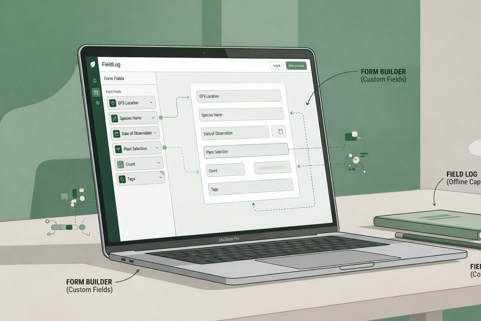
Create Session
Build your form. Drag fields. Publish.
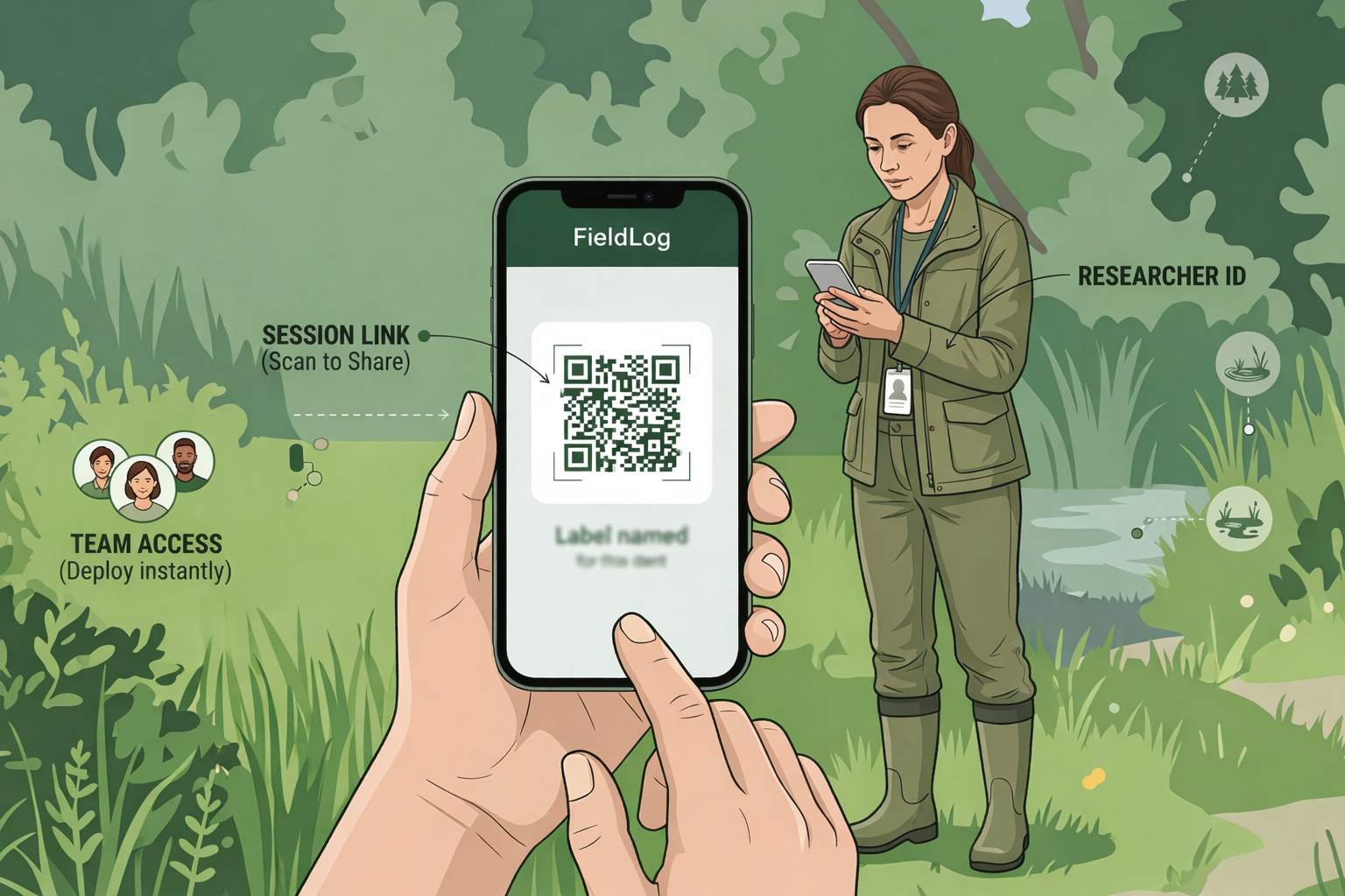
Deploy to Field
Share a link or QR code. Your team opens it on any phone.
Collect Data
Submissions arrive with GPS, photos, and timestamps. Watch the dashboard update.
Built for the demands of fieldwork
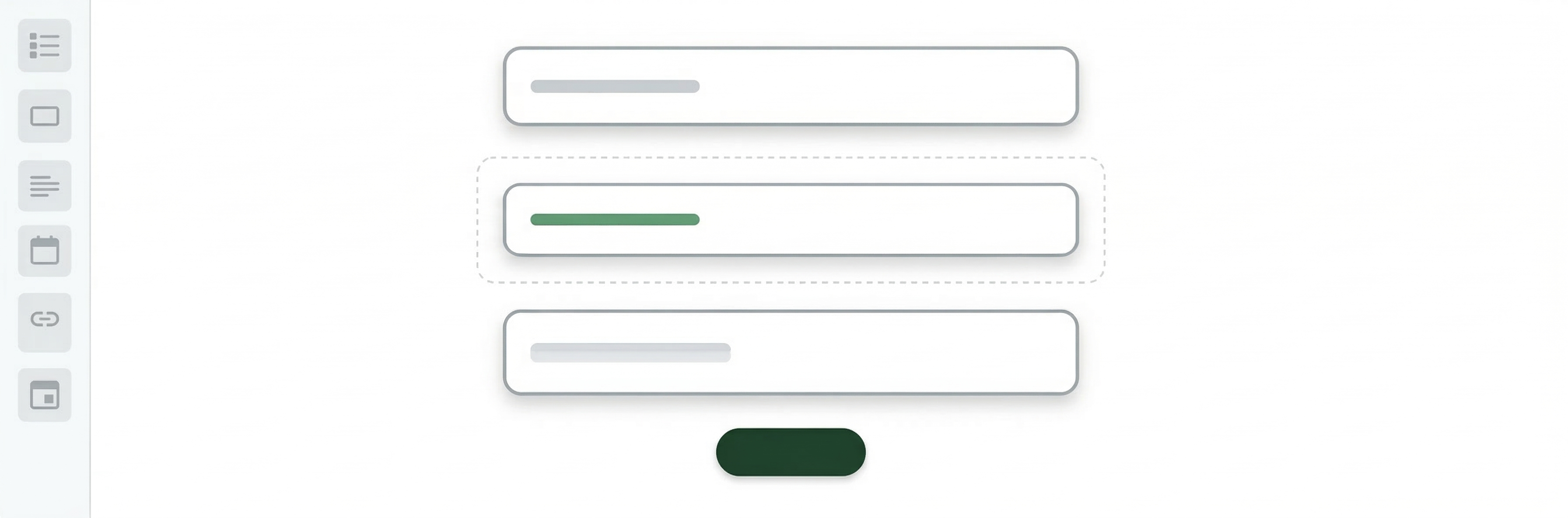
Build Forms
Drag fields onto your canvas. Add conditions, split into steps. Ship it.
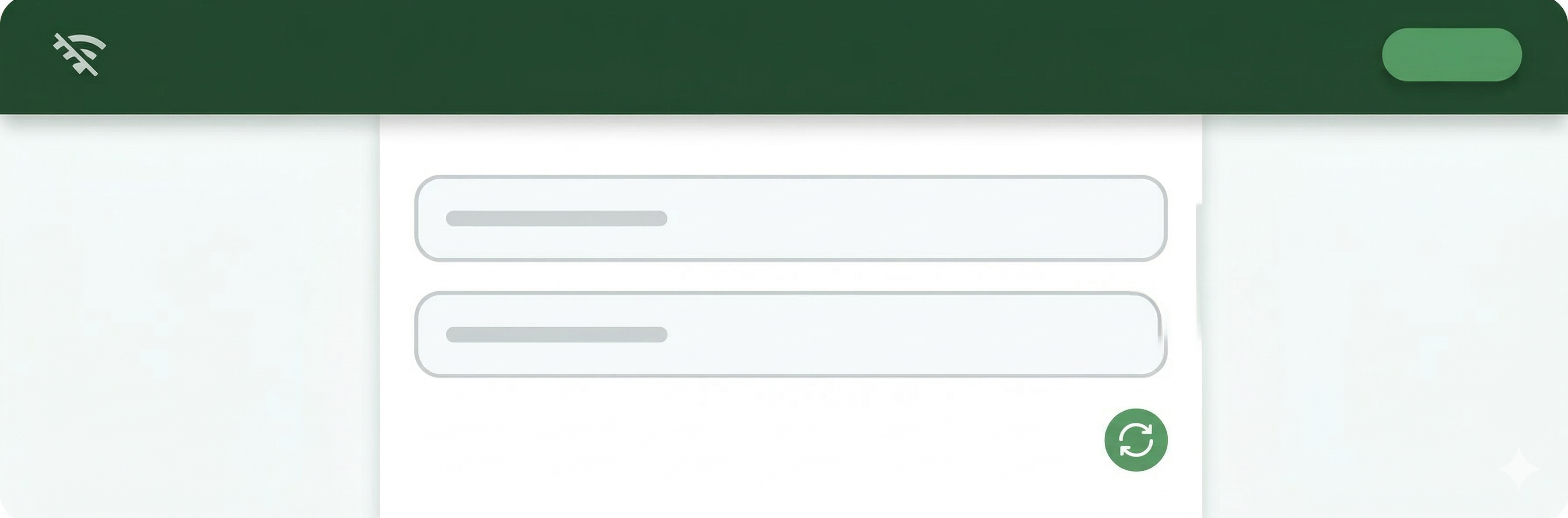
Go Offline
No signal at the site? The form still works. Entries save locally and sync later.
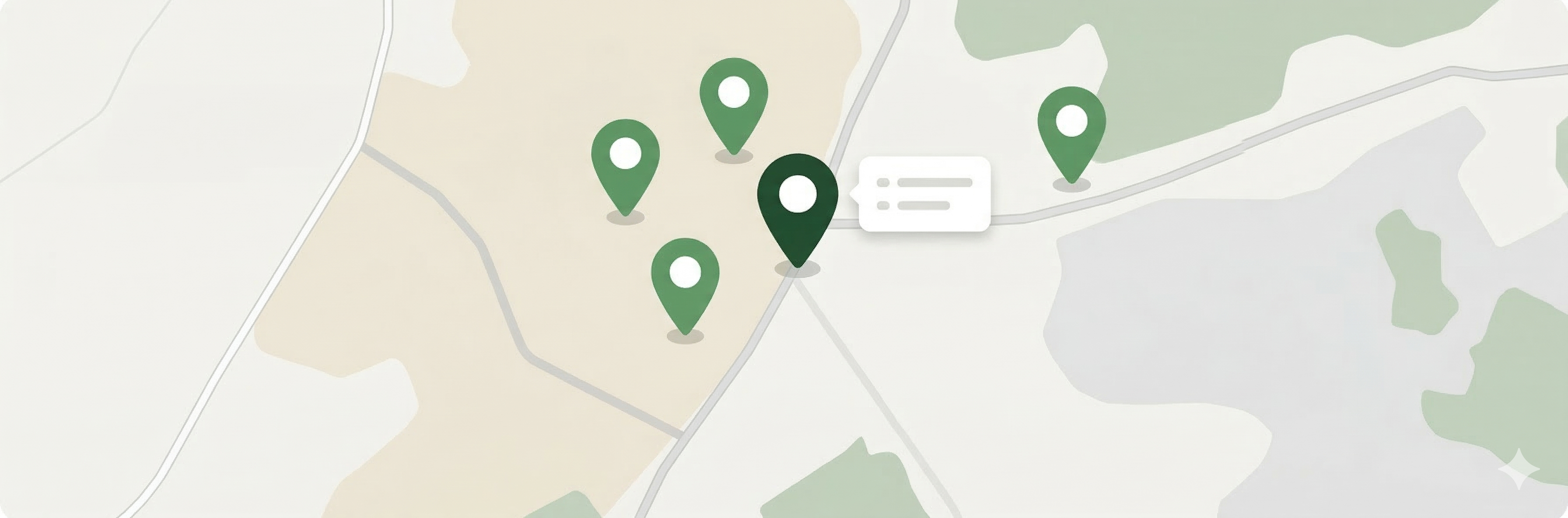
Pin Locations
GPS coordinates tag every record. Your phone does the work.
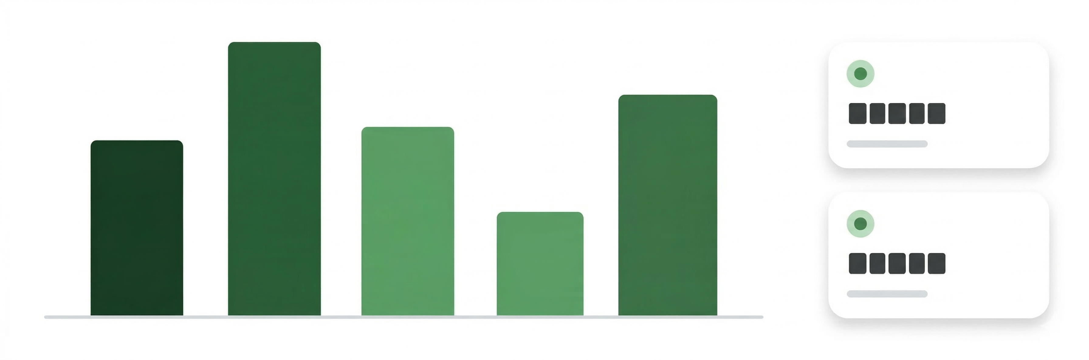
Watch Live
Open the dashboard. Watch submissions roll in as your team finishes each plot.

Open It Up
Invite the public to submit observations. Review and approve what comes in.
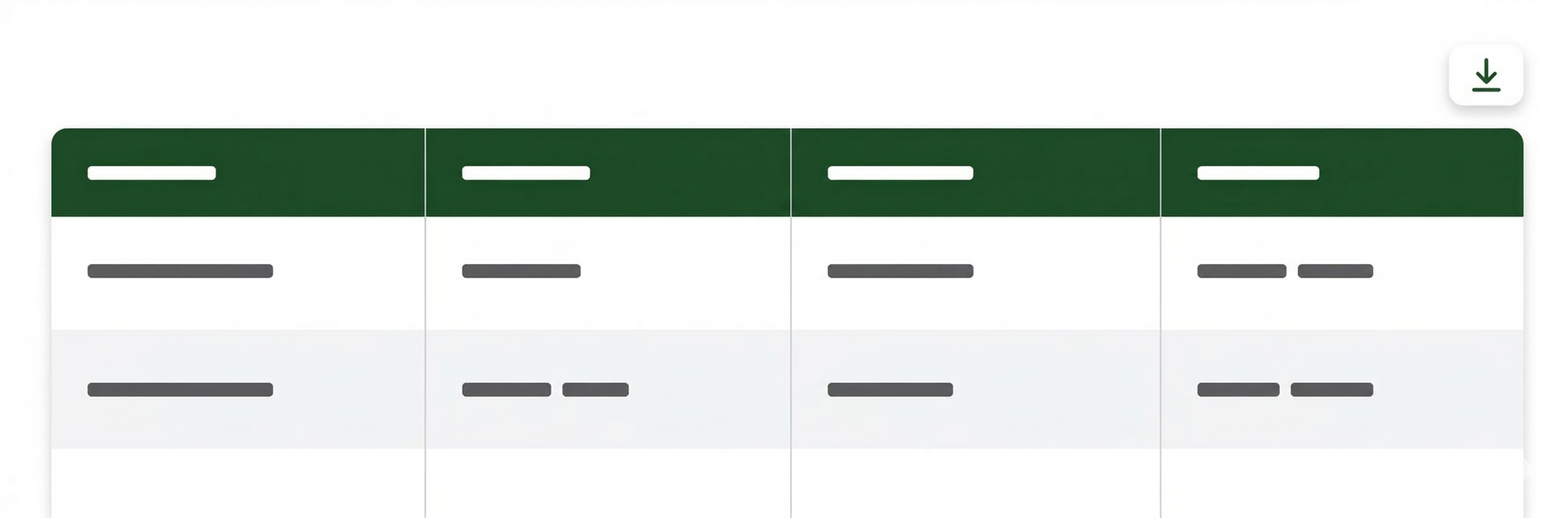
Get Your Data
Download everything as CSV, KML, or JSON. All standard formats.